Ingurtosu
map of Ingurtosu and surroundings
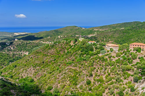
When you turn off from SS 126 and head towards Costa Verde, the road initially winds through a solitary mountain landscape.
Just before Ingurtosu, the view opens up over parts of the town, extending, on clear days, all the way to the enormous sand dunes at Piscinas Beach.
Feel free to take your time as you continue driving and enjoy glimpses into this former mining village.
Il Castello (Palazzo della Direzione)
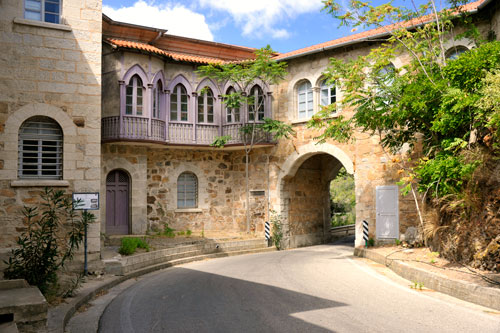
While driving through the town, you pass through the “Castello,” which was the seat of the mining administration. The tunnel is also passable for campervans.
Ingurtosu was built in the 19th century on the instructions of the English Lord Brassey.
In this completely remote area at the time, a village gradually emerged with around 1200 residents and all social amenities such as a school, hospital, and post office.
The village passage
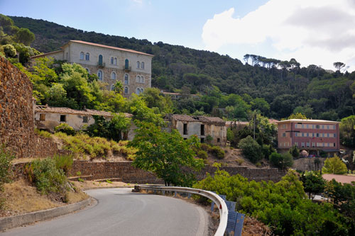
Ingurtosu nestles its houses against the rugged and sometimes very steep slopes of the narrow valley.
The main street winds down in adventurous switchbacks. All side streets branching off are extremely steep.
For about 100 years, lead, zinc, and silver were mined in Ingurtosu.
When mining ceased to be profitable in the 1960s, the mine was closed.
The inhabitants left the village, which gradually fell into decay.

After about 30 years, new life returned to the village.
Some houses were lovingly restored and now stand beautifully renovated among the ruins.
In the meantime, the “Parco Culturale Giuseppe Dessí” was established, which encompasses several former mining areas in Sardinia, including Ingurtosu.
Information panels have been placed at interesting locations, providing (in Italian) information about the village’s history.
Ingurtosu-Naracauli
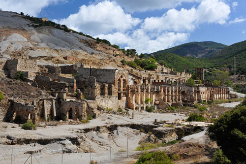
In this district, a bit below Ingurtosu, the remnants of a facility where the extracted ores were washed still stand.
The asphalted stretch ends here and transitions into an unpaved road (strada bianca), which continues towards the sea.
The track is relatively passable and suitable even for regular cars.
Continuing towards Costa Verde
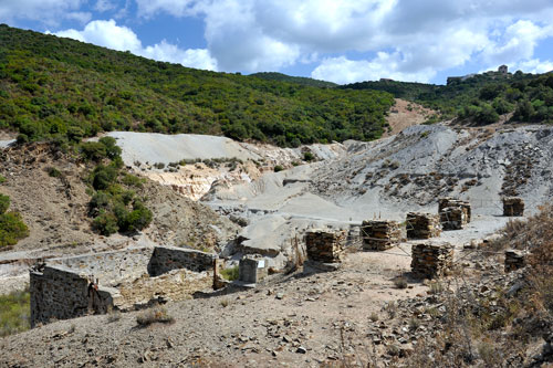
As you drive from Ingurtosu-Naracauli further down to the dream beaches of Costa Verde, you’ll notice many more ruins from the long-gone mining era.
Down in the valley of Riu Naracauli are huge spoil heaps, giving an impression of the scale of mining operations conducted here.
The unpaved road is extremely winding and dusty. You should navigate the track with utmost caution and, above all, at a slow pace.
At certain points, there are deep holes and very loose ground to watch out for.
