Tempio di Antas and Surroundings
map of the Temple’s Surroundings
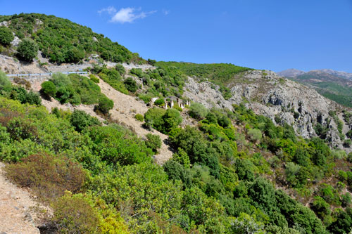 No matter which direction you take to reach the valley of Riu di Antas – whether from the south via Iglesias or, as shown in the photo, from the north – the drive is always associated with seemingly endless serpentine curves.
The landscape is breathtaking and largely uninhabited.
Parking bays and viewpoints are quite rare. Please do not be tempted to stop on the road by the fascinating landscape, as the route is very unclear.
Tempio di Antas
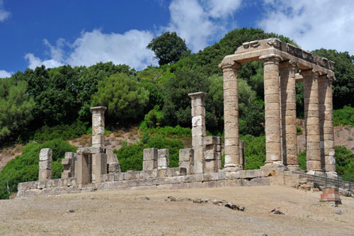
From the SS 126, a roughly 2 km long asphalt side road leads to the temple.
At the ticket booth, snacks and drinks are also sold. Shady seating areas invite you to rest.
When purchasing the ticket, you receive a English guide to the attractions located here.
The main attraction is, of course, the temple itself, but there is more to discover in the vicinity.
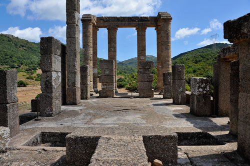
The first temple was built by the Punics around 500 BC and dedicated to their god Sid Babai.
Around 300 BC, the Romans largely tore down the structure and built a new temple for their god Sardus Pater on the foundations.
Thus, the sanctuary is oriented to the northwest and not – as is usual with Roman temples – to the east.
The altar and remains of the mosaic floor are still clearly recognizable.
With the increasing Christianization of Sardinia, the temple fell into oblivion until it was rediscovered in the 19th century.
Extensive restoration measures took place in 1967, during which several interesting finds were made and some of the columns were re-erected.
Nuragic Village
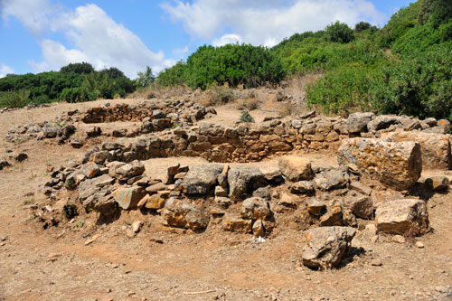
Near the temple, the remains of a village from the Nuragic period were also discovered.
The settlement was inhabited until late Roman times.
From here, a roughly one-hour hike leads to the Grotta Su Mannu.
Roman Quarry
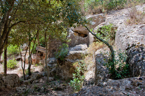 About 10 minutes from the temple are the former quarries where the limestone blocks for the construction of the temple were broken.
The working methods of that time are depicted on display boards and can be well understood in the quarries.
Cork Oak
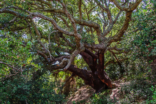 An old cork oak, several hundred years old and completely gnarled, stands about 10 minutes from the ticket booth in a sparse forest.
While there is often a lot of activity at the temple, it is very quiet here. On the way to the tree, you have a beautiful view of the temple complex from a different perspective on the left.
Relics of Mining
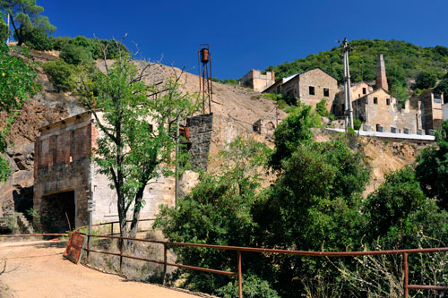 In the region, intensive mining was carried out until a few decades ago.
Along the SS 126, you can repeatedly see ruins of former mining facilities. The photo shows the ruins of the Miniera su Zurfuru.
The most significant mining settlement was Fluminimaggiore. The town remains inhabited even after the closure of many mines.
